DaveInDenver
Rising Sun Ham Guru
Indeed, don't get wrapped around the axle. The route is well established and the CM guides won't steer you wrong.Yes bypassing RGH for reasons others have stated. Thanks for calling out Dome Plateau to Dewey Bridge. Way better than 128. I was just trying to get from A to B. Also Onion Creek (thanks @DaveInDenver) look better than my 128/96 route from Dewey.
What's the path from Fish Ford camp to the trail head of Dome Plateau? I had ploted the bit in blue but I'm not sure that will work as OnX just says "unknown motorized access" plus it looks like part of that path is on the river bank. The only for sure route I see is Cisco Pumpkin House Rd to 175 to 128.
At any rate, I'm just having fun here getting my head wrapped around this trip. Fully understand (and appreciate) Trail Leaders are called Trail Leaders for a reason and I'm looking forward to following the bumper in front of me. CM (really attending any national TLCA event) has been on my list for long time and its finally time.
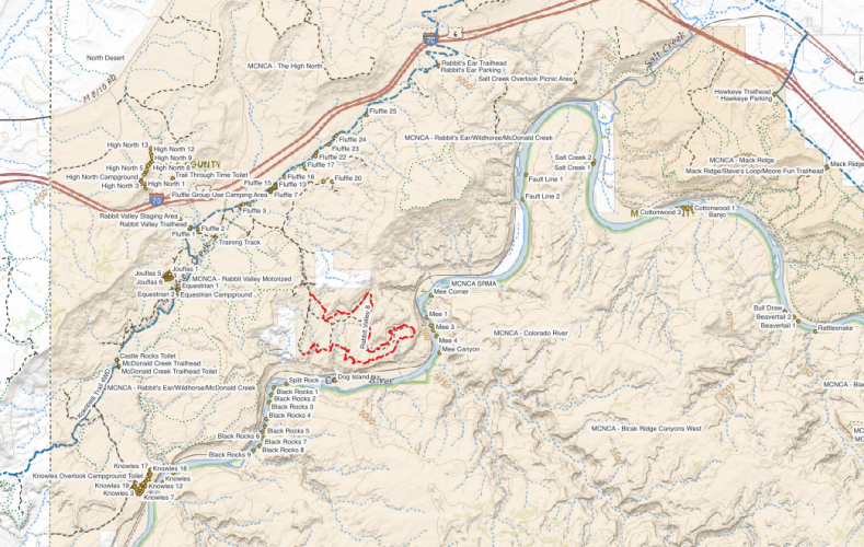
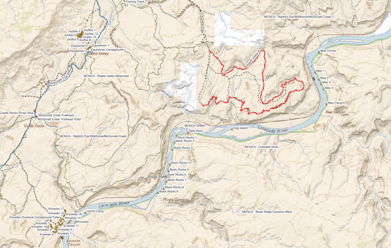
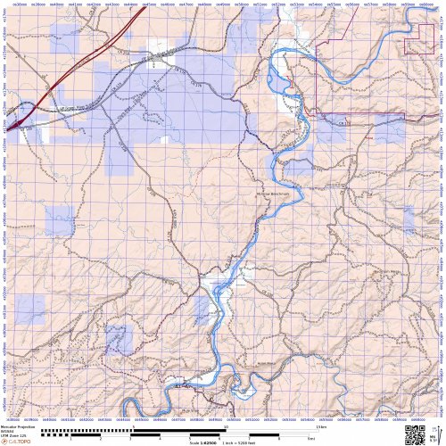
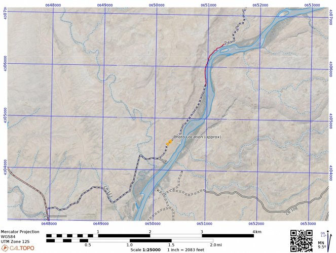
To clear up your question, what your mapping software is showing is the Kokopelli but it's the mountain bike route. Here's roughly the same area you have on your map. I left on the public lands overlay, which should help you orient yourself. Blue is SITLA (state land trust) and beige is BLM. The red track is one possibility for 4WD (the reason becomes evident whilst you're on the run, let the mystery be) and blue is typically what most MTB will do.
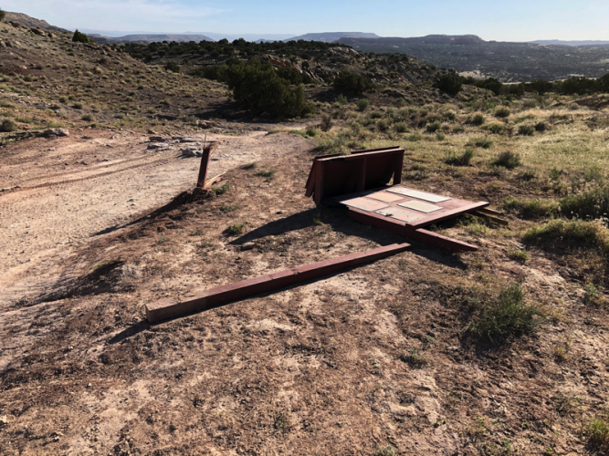
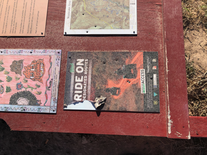
MTBs do follow the river to McGraw Bottom but there's a section of wetland tamarack and reeds not open to motorized users so OHVs have to go around. I'll add a photo along there since that shouldn't ruin it for CM attendees. Maybe whet your appetite for bringing boots or a MTB.

Last edited:

