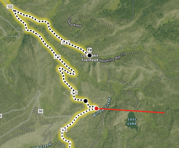
To give some context, I took the section right over Medano Pass to compare maps.
OSM

Caltopo's default Map Builder Topo basemap

USGS

USFS

MVUM

Caltopo's Motor Vehicle layer (the green track, essentially just highlighting the MVUM)

Caltopo's scanned topo

You can sort of see how data is pulled. Caltopo uses the OSM data heavily to build their map. This is fine but relies on whoever put the route into OSM to correctly map it, describe it, tag it to prompt the router to know how to use it. There's embedded tags that tell OSM if the route is singletrack, doubletrack, improved, class of road, surface, legal or accepted uses, etc. There's no way any GIS program can have enough people to review every piece of data so it has to assume it's done correctly.
The benefit of OSM over other options (paid or government) is that you have thousands of people putting eyes on the database to find errors. The volume of data in OSM dwarfs most other sources, including USGS and USFS and it's in a format that's easy to integrate. USGS has the data available but takes some conversion and mostly doesn't finely classify anything and the detail is uniformly precise, everything is equally displayed so you can't really use it directly to navigate. USFS and BLM data is more specialized, less easy to integrate into mapping apps on the fly but is primary source to give legal definitions.
OSM is the catch all but can't always be right and the map tiles are hard to read. Secondary sources use it but add their own format and/or corrections (which might be other sources, surveys like USGS, guides, private mappers like TomTom or Google), which makes them no longer open source and free. There's no guarantee the corrections are right but it's usually the result of someone actually doing it or at least looking at it, so value is added.
Why I like Caltopo, though, isn't obvious in these. When you draw a route it can snap a line to the OSM, USFS, MVUM or hydrological (routes that follow natural fall lines) data. Or you can freehand or snap to an existing line (perhaps a GPX you imported). To leverage Caltopo you need to do work upfront on the desktop, although the mobile app routing is OK you have to cache custom mapsheets/mapboxes and routes into your account for them to be available later. The mobile app is a pared down version of the desktop. It's straddles the line between mavigation and full GIS like ArcGIS or QGIS. It's why the wildland fire like it. A tech can build custom maps in camp and push them to mobile users. As standalone on a phone it's not as useful, especially compared to OnX or Gaia.


 www.facebook.com