Onx vs. Trails offroad vs?

KC Masterpiece

Hard Core 4+
Joined
May 4, 2019
Messages
1,810
Wait a minute…. Explain “daily satellite imagery.” So if I am camped for 2 nights, by night 2 I see my truck?
It is daily imagery updates but the resolution is no where near good enough to see something that small. I find it very useful in the spring for determining snow coverage. It is definitely not like having your own access to a spy satellite. There are also weekly images available in a better resolution but you are always running the risk of cloud coverage.
 

DaveInDenver

Rising Sun Ham Guru
Joined
Jun 8, 2006
Messages
13,944
Location
Grand Junction
@nakman

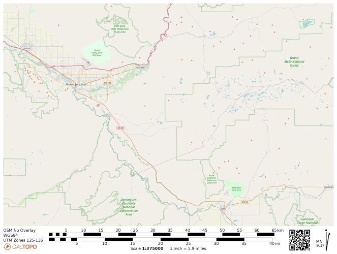
CalTopo provides realtime data from NASA's MODIS and GEOS and ESA/Copernius' Sentinel.

https://modis.gsfc.nasa.gov/
https://www.goes.noaa.gov/
https://www.sentinel-hub.com/

Base Map
E2JGT.jpeg

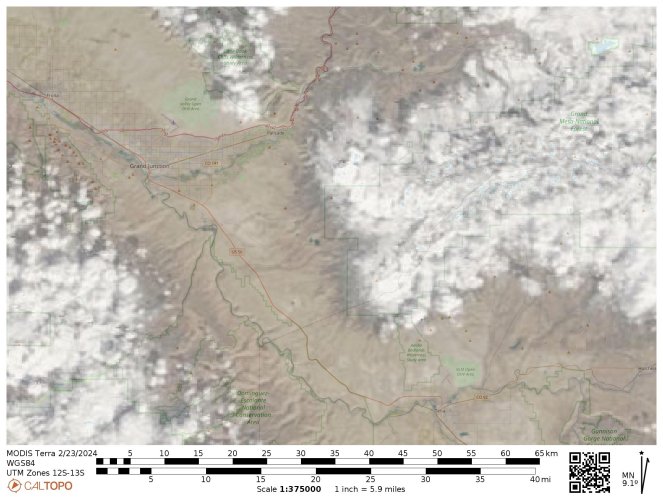
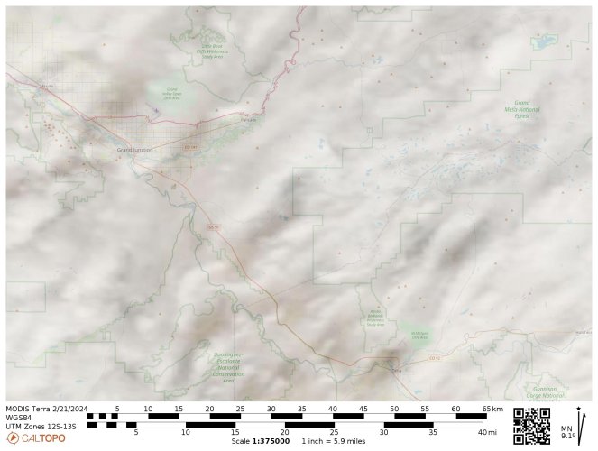
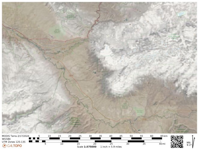
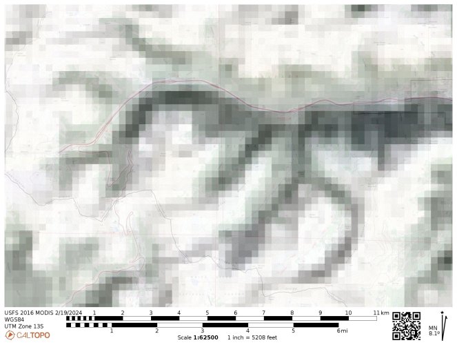
NASA MODIS over past few days. Clear days show snow coverage (note slight change between 17th and 23rd in valleys) and a cloudy day on the 21st. All the satellite layers are shown at 50% so it's not an accurate representation of overcast on the cloudy day.

23FEB2024

TNN30.jpeg

21FEB2024

NG367.jpeg

17FEB2024

JFP34.jpeg

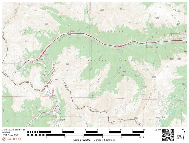
But to give you some idea of resolution I put a view at 62,500 scale over the Forest Service topo around Georgetown and Loveland. You can get a sense of snow coverage but you're not going to be able to tell the exact day when a trail clears. Each daily satellite pixel on that image is about 750' x 750'.

A5MUV.jpeg

F5RTK.jpeg
 
Last edited:

Inukshuk

Rising Sun Member
Joined
Aug 24, 2005
Messages
8,019
Location
Denver, CO
Gaia just announced a substantial price increase:

Thank you for subscribing to Gaia GPS. We wanted to let you know about an upcoming change to this subscription.
The developer, Trailbehind, INC., is raising the price of this subscription from $39.99 per year to $59.90 per year. Your subscription will automatically renew for $59.90 per year starting August 6 unless you cancel at least a day before. To learn more or cancel, review your subscription.

Anyone have an angle on discounts?
 

Crash

Rising Sun Member
Joined
Aug 23, 2005
Messages
4,379
Location
Denver
I’m so old school

IMG_0694.jpeg
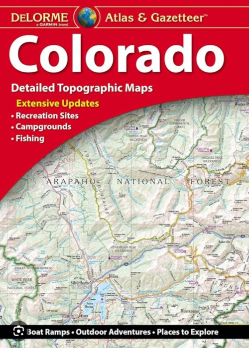
THIS! It's called going on an adventure. Pure and simple. Take all the old maps you can find too. Never throw a paper map away. Be aware of Gazetteer's "Updates", however. Older versions show more trails, in my experience, than the newer ones do.
 

DaveInDenver

Rising Sun Ham Guru
Joined
Jun 8, 2006
Messages
13,944
Location
Grand Junction
Older versions show more trails, in my experience, than the newer ones do.
This is true of many maps, paper and digital (such as PDF MVUMs) both. I try to keep old Trails Illustrated, BLM and USFS maps that show trails that have been closed. Just in case, ya know.
 

Crash

Rising Sun Member
Joined
Aug 23, 2005
Messages
4,379
Location
Denver
This is true of many maps, paper and digital (such as PDF MVUMs) both. I try to keep old Trails Illustrated, BLM and USFS maps that show trails that have been closed. Just in case, ya know.
Precisely. (Imagine your own meme).
 
Back
Top