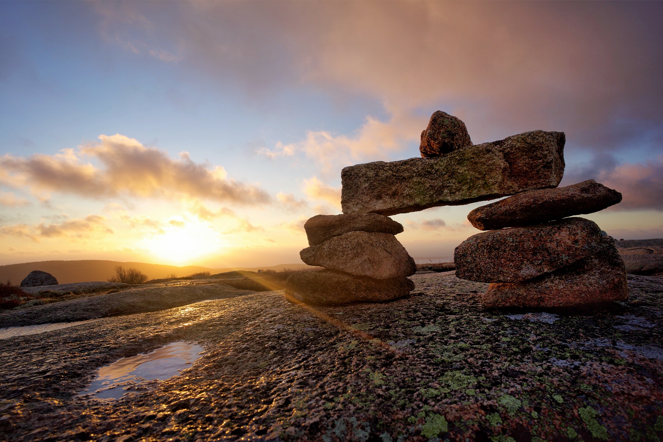
I saw some cool ones in Iceland built by the Vikings to mark land borders and mountain trails.
If you see them at a common lunch spot or along hiking trails in CO they are likely built by the same types that go off trail to get sweet Instagram shots and leave poop bags etc.
It's not
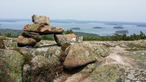
always easy to tell. Although this is actually Utah it's true around here as well. From this point to a landing strip is about a mile through the brush and the end of the trail (an overlook of the Colorado and Green) is another mile or so distant from that. The whole plateau is a few miles wide.
Without a cairn periodically you could of course navigate with a map, compass or GPS but there'd be a dozen different paths people would walk.

What's interesting is that the route isn't always stacks of rocks. The uranium prospectors that put in the jeep trail originally (now hiking only) used other stuff it appears to cookie crumb their path. This used to be a two-track not that long ago.

There are places where the cryptobiotic soil is chewed up badly so it's easier to tell. Others would start to disappear quick. There are two sets of boot prints, my hiking partner and mine from the evening before and these on the way back. Not to mention if you relied just on disturbed soil you might start following a game track who couldn't care less if they meander or get from here to there.