Caribou Sandstorm
Hard Core 4+
Some of it definitely yes, some of it definitely no...But you can by pass the no-trailer sections.. There is some fantastic camping along this route for trailers.
Some of it definitely yes, some of it definitely no...But you can by pass the no-trailer sections.. There is some fantastic camping along this route for trailers.

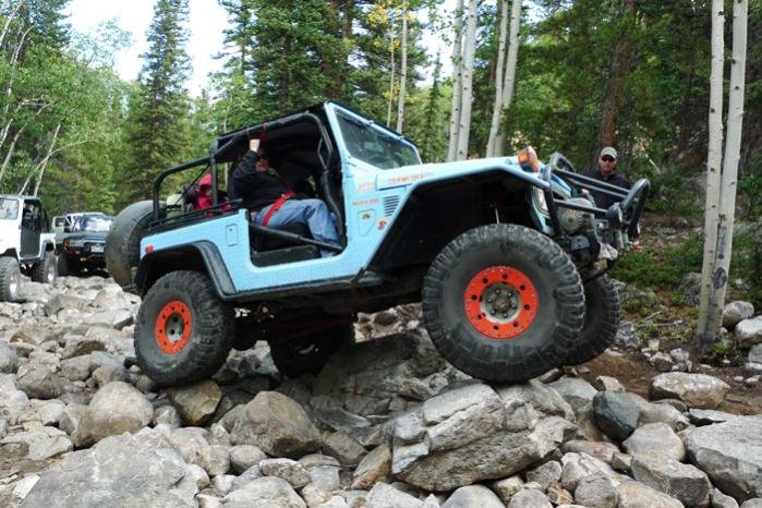
Well Randy you really do not have a 40, but a buggie.
Robbie, have you driven White Rim in your 80? If so, how did your fuel consumption compare? I tend to get the equivalent of about 10 MPG on average, although I prefer to do my calcs in gallons per hour. It's funny, though, my truck generally gets close to the same gal/hr regardless if it's 65MPH on the highway or intermittent 4wd-low.
 ) but I didnt monitor his fuel
I have a small group thinking about running the Kokopelli. Is there a good guide book or map that you would suggest?
I have the Moab East Trails topo map. I picked mine up at the Moab visitors center. It is the purple one, there are a set of 3 or 4, each one a different color.
It has the entire Kokopelli trail, which is a made up of several trails.
www.latitude40maps.com, is the maker of the maps.
Hope this helps.