Creede trip: 1 of (?)

NyNomad

Wincher
Joined
Feb 28, 2018
Messages
77
Location
High Desert
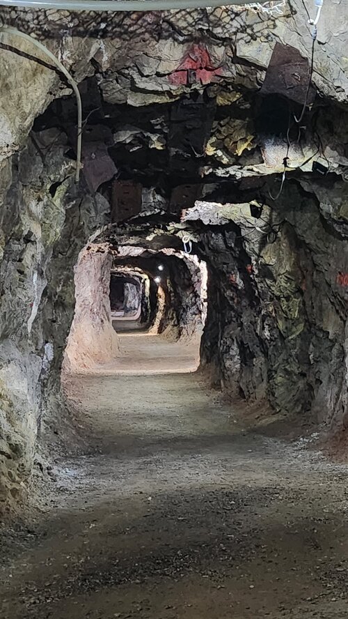
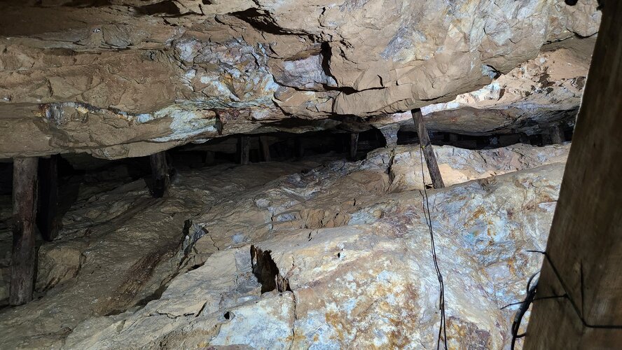
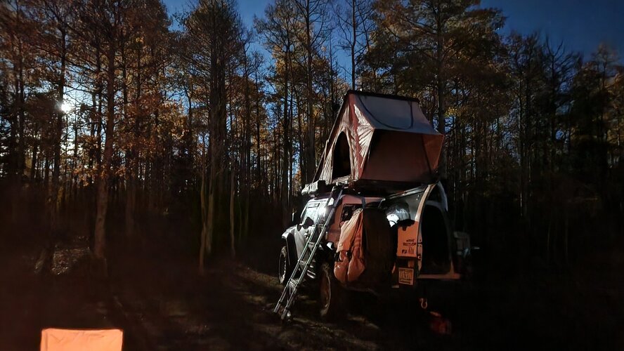
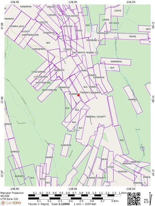
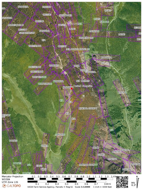
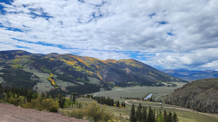
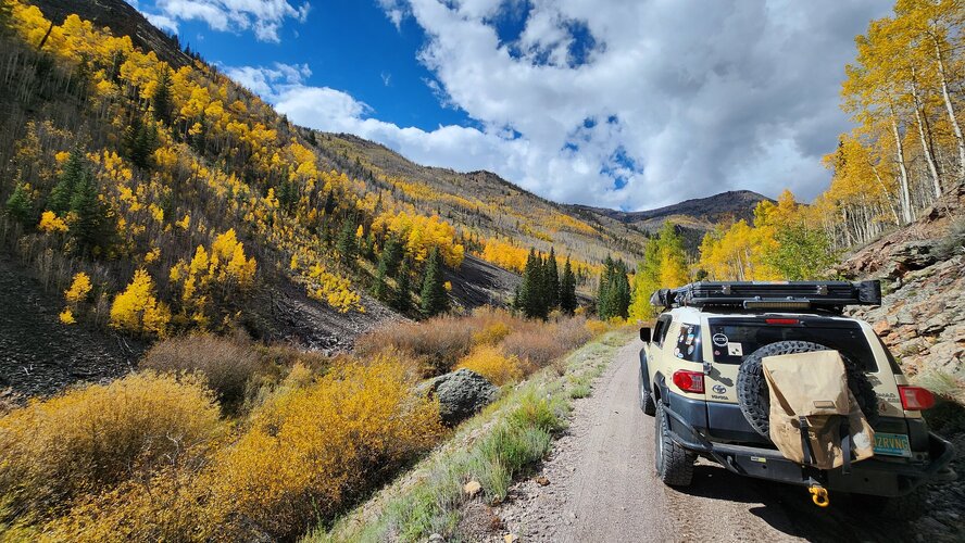
went to Creede for the 1st time this Saturday and Sunday. short "short" 3.5hr drive from outside of Santa Fe nm. I did part of the Bachelor Loop and caught the a Last Chance Mine tour of the day (seasonal tours ending soon). Before the sun went down i wound up camping here: 37.8805567, -106.9390632 (private land with owner authorization)
6242.jpg

6248.jpg

6258.jpg

6262.jpg

6272.jpg
 
Last edited:

DaveInDenver

Rising Sun Ham Guru
Joined
Jun 8, 2006
Messages
14,327
Location
Grand Junction
Posting the GPS coordinates of a campsite is a good way to make sure the camp site is occupied - and possibly trashed - every time you come back. Just sayin'...

Anyway, got the pin saved in my map now. Thanks!
And check that you're not trespassing. Or potentially downstream of tailings (should be fine there). Del Monte is the legal owner of the inactive Last Chance. Did they suggest this @NyNomad?

FJNRT.jpeg

U2SPD.jpeg
 
Last edited:

NyNomad

Wincher
Joined
Feb 28, 2018
Messages
77
Location
High Desert
And check that you're not trespassing. Or potentially downstream of tailings (should be fine there). Del Monte is the legal owner of the inactive Last Chance. Did they suggest this @NyNomad?

FJNRT.jpeg

U2SPD.jpeg


the older gentleman who gave us the Last Chance mine tour told us we could camp that spot. i did have concerns about it being private property. the gentleman said dont worry about it. although there was a definded rock fire ring, i opted to use my portable raised fire pit
 

DaveInDenver

Rising Sun Ham Guru
Joined
Jun 8, 2006
Messages
14,327
Location
Grand Junction
@NyNomad asked and granted, good on you.

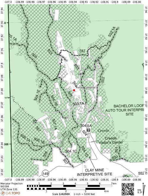
In similar situations if an #overlander can't find someone to give permission the MVUM can be a guide. Shaded the USFS land in green to make it clear. Forest land is light gray on the MVUM and any inholdings that are white within the heavy black border line are private or otherwise not USFS.

I bet 99% of the people who camped there didn't bother making sure they weren't on someone's property. The presence of a road with a USFS designation doesn't make the land on either side open necessarily. In this case it's a county road and the MVUM seems to indicate that it does not have a USFS assignment.

To the west FS505/CR505/Rat Creek Road is and has the dots indicating dispersed camping along it is fine.

527MP.jpeg
 
Last edited:

NyNomad

Wincher
Joined
Feb 28, 2018
Messages
77
Location
High Desert
OnX was not helpful for the camping around creede.. the initial plan was to backtrack to Pool Table and camp up that way
 
Last edited:
Back
Top