leiniesred
Hard Core 4+
JKMimmel and I ended up heading for Yankee Hill. We left from Central City's cemetary and headed up the trail with the destination of SNOW in mind. At first, we were disappointed by the hardpacked snow with tufts of grass sticking up and the well plowed roads (there are a bunch more building sites up there now than I remembered!) Up past the playground area we came across a full size Bronco and a Jeep Cherokee. They were having a great time and encouraged us that there was deep snow up the trail (and a Samuri) They had radio's and radioed ahead so the Samuri was safely off the trail by the time we motored past.
JKimmel was in front and was bustin' trail with his 40 inch swampers (His axles and truck were rarely touching the snow) It was finally getting really fun (read that DEEP) as we struggled up the hills (I more than JKimmel to be sure.) Until we were finally stopped. JKimmel's sharp ear caught the sound of "RICE" in the snow. "That's the Sammy!" We worked off the trail, but they just got around the last corner and it was all over for 'em too. We followed them back but chose to turn left onto another numbered route. I recognized it as one I had been stuck on last year!" I gave JKimmel the news and we started down the trail anyway. We only got to the next drift before JKimmel finaly planted his 4runner. 2 tugs with the strap and he was out and we headed back down to the cemetary. We caught up to the other 3 wheelers who told us we were only 10 minutes from pavement. We had almost made it over yankee hill. JKimmel noticed the his fuel line had worked loose and was rubbing on the driveshaft. Can you imagine the result of a ruptured fuel line spilling onto the driveshaft wich would fling it onto the exhaust?! Whoa. Glad we stopped and wired it back up. Had good supper at TommyKnockers.
I had a GREAT time playing in the snow. Next time I'll air down and see if it makes a difference.")
Couple of pics:
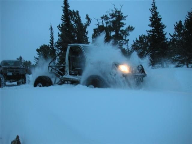
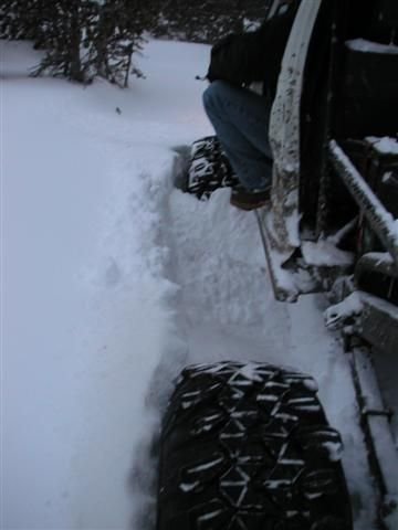
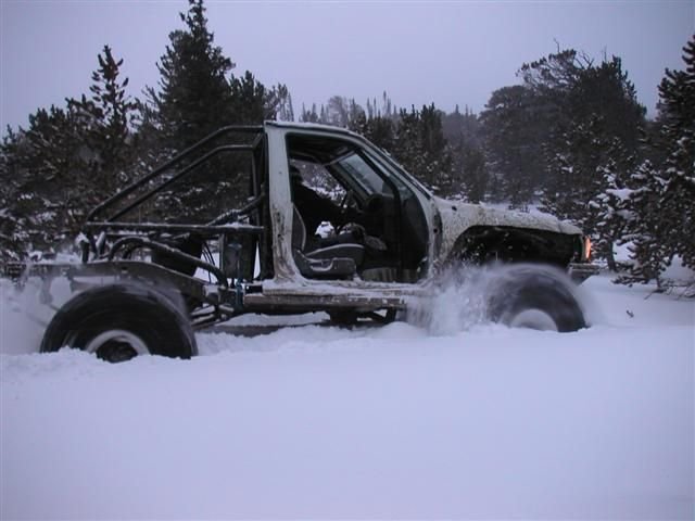
JKimmel was in front and was bustin' trail with his 40 inch swampers (His axles and truck were rarely touching the snow) It was finally getting really fun (read that DEEP) as we struggled up the hills (I more than JKimmel to be sure.) Until we were finally stopped. JKimmel's sharp ear caught the sound of "RICE" in the snow. "That's the Sammy!" We worked off the trail, but they just got around the last corner and it was all over for 'em too. We followed them back but chose to turn left onto another numbered route. I recognized it as one I had been stuck on last year!" I gave JKimmel the news and we started down the trail anyway. We only got to the next drift before JKimmel finaly planted his 4runner. 2 tugs with the strap and he was out and we headed back down to the cemetary. We caught up to the other 3 wheelers who told us we were only 10 minutes from pavement. We had almost made it over yankee hill. JKimmel noticed the his fuel line had worked loose and was rubbing on the driveshaft. Can you imagine the result of a ruptured fuel line spilling onto the driveshaft wich would fling it onto the exhaust?! Whoa. Glad we stopped and wired it back up. Had good supper at TommyKnockers.
I had a GREAT time playing in the snow. Next time I'll air down and see if it makes a difference.
Couple of pics:
Attachments
Last edited: