Inukshuk
Rising Sun Member
12/23/2021 E-mail from the United Four Wheel Drive Associations Inc. (view full e-mail at
https://mailchi.mp/06b83ad1e6e9/ufwda-enews-june-10709932?e=aa5262c8fc)
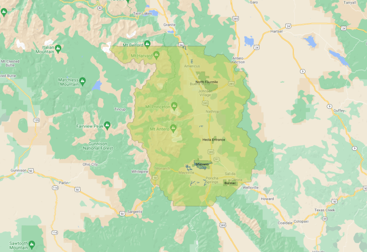
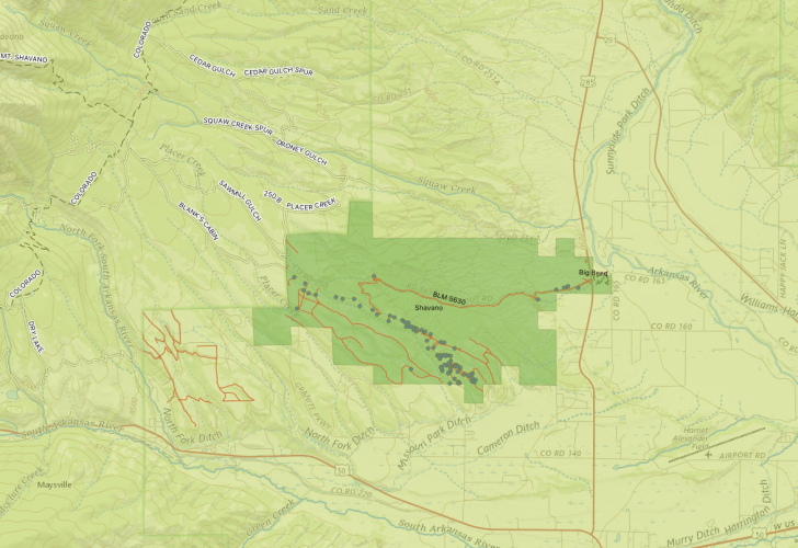
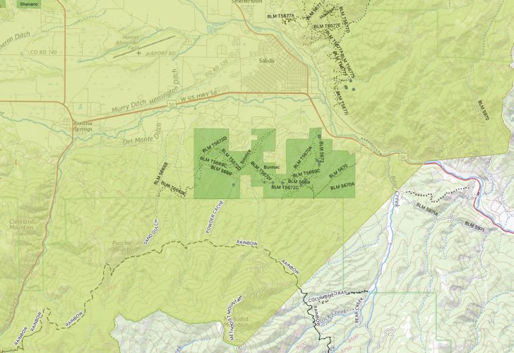
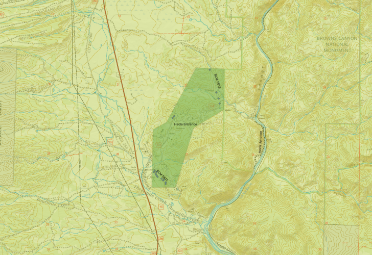
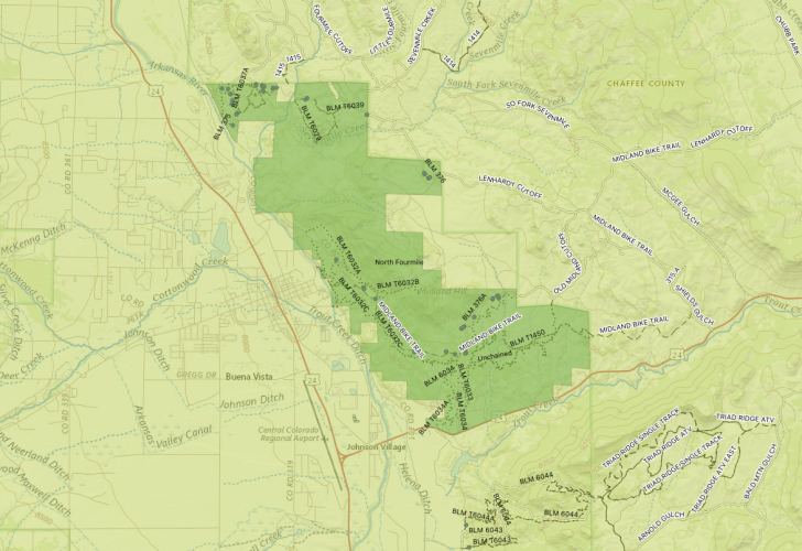
Travel management planning on BLM public lands in Chaffee County.
The Bureau of Land Management (BLM) Royal Gorge Field Office announced on Friday that it is accepting public comments on dispersed camping and travel management planning on BLM public lands in Chaffee County. Comments will be accepted through January 31, 2022.
The Arkansas Hills to the east of Salida and Tenderfoot Mountain were identified as a target of development by the BLM during the Trump administration, which opened significant wilderness to mineral extraction.
“Recreation use, especially dispersed camping, has increased dramatically in recent years,” said Royal Gorge Field Office Manager Keith Berger. “This increase in use has resulted in a multitude of issues, such as vegetation and habitat loss, erosion, and sanitation impacts, which all affect people’s recreation experiences and our ability to meet our multiple-use mandate.”
Input is being sought on alternatives for camping and travel management on approximately 38,000 acres of BLM public land in Chaffee County where camping demand has increased in the past decade.
The BLM is initiating this effort based on concerns identified by BLM resource specialists, public land users, and neighbors adjacent to public lands.
Additional information is available and public input will be accepted through the project’s ePlanning website at https://eplanning.blm.gov/eplanning-ui/project/2012291/510.
The BLM says that this input effort will inform a planning effort in alignment with Chaffee County’s Recreation in Balance” group. It is also being coordinated with the U.S. Forest Service and Colorado Parks and Wildlife.
https://arkvalleyvoice.com/blm-seeks-public-input-on.../

