MDH33
Hard Core 4+
So, I had an urge to get out and wheel and the forecast was calling for sunny and 70 on April 8. Time to blow off work and go wheeling. 
I've been wanting to try out the China Wall trail which is South of the Tarryall Reservoir near the Lost Creek Wilderness. I had never explored this area West of Lost Creek and the Hayman fire. It's a beautiful part of the state.
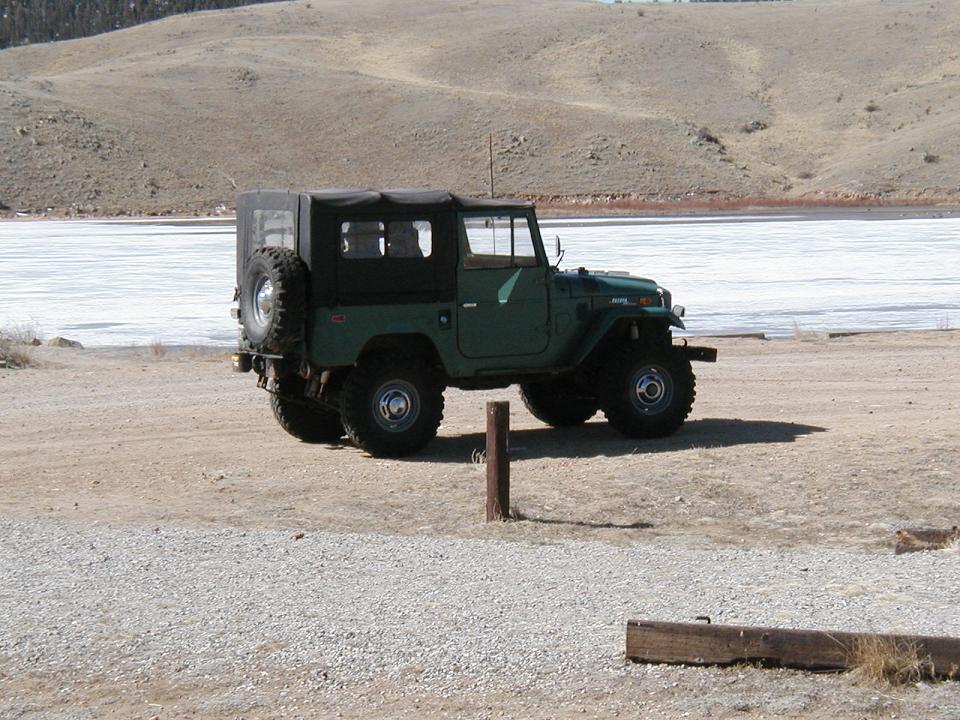
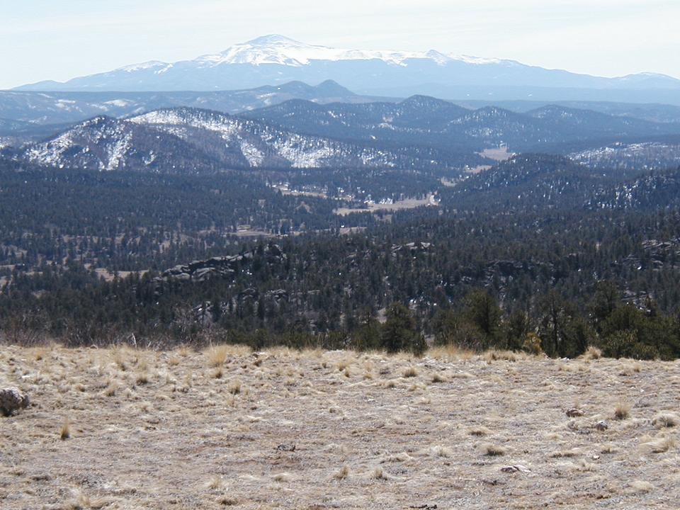
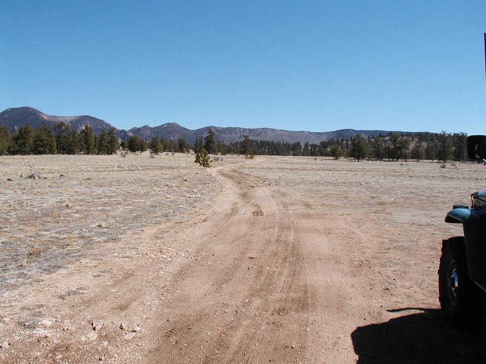
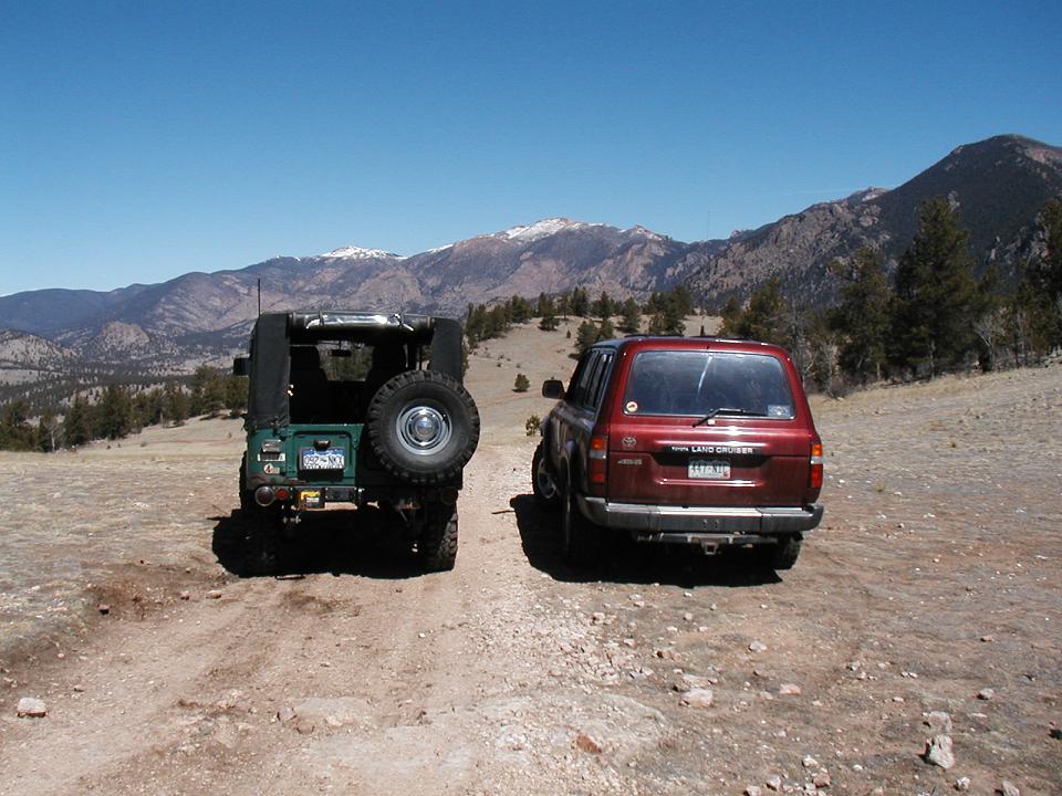
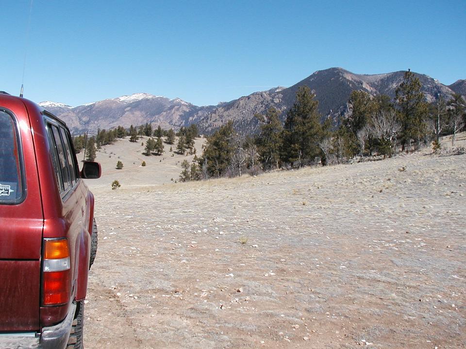
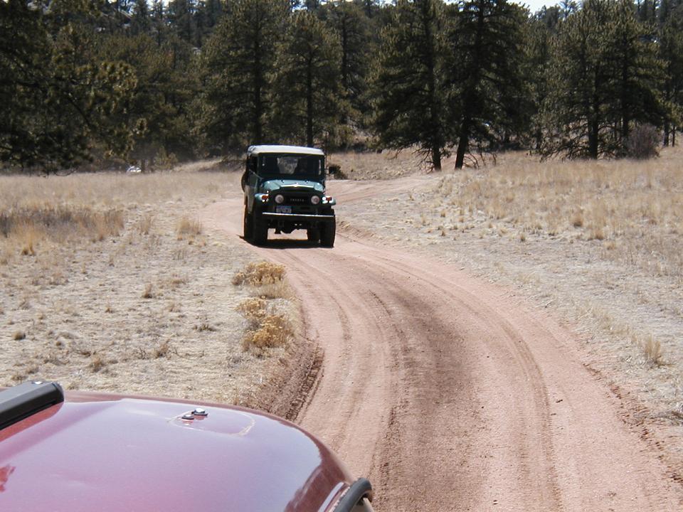
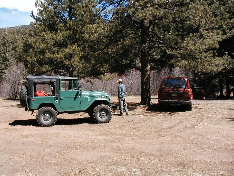
Dan (MountainGoat) and I headed out from Conifer at 9:00. We went over Kenosha Pass on 285 and then down 77 towards Tarryall. It's a pretty long drive to get to the trail but there's lots of scenery along the way. We got to the trail and aired down and started exploring the area. We had a great view of Pikes Peak and the surrounding landscape.


The main trail is smooth, sandy, rolling with a few fun sections of rock to climb on. The trail goes for a few miles then ends at some great campsites down near Tarryall creek.


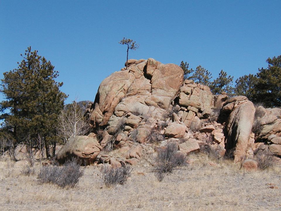
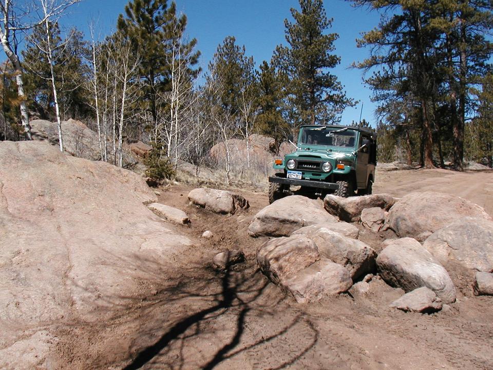
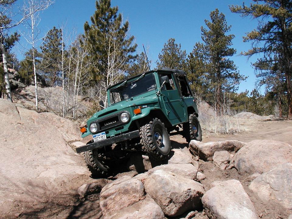
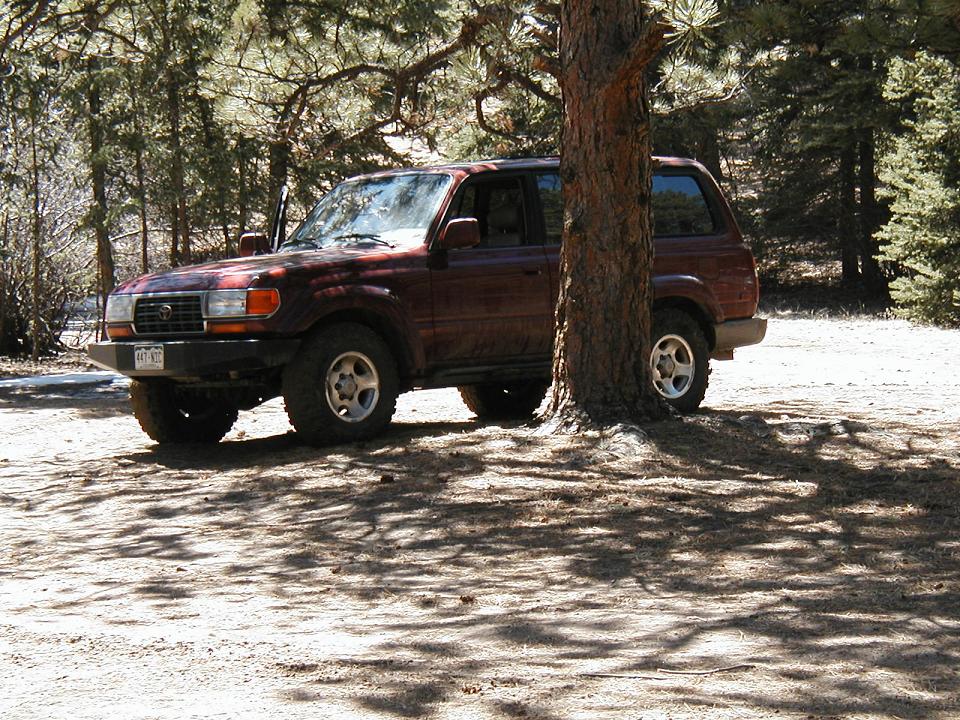
After a leisurely lunch break we explored some more of the side trails before heading down the second section of the trail which goes to an area along Tarryall creek called Box Canyon. There were a few more sections of fun rock obstacles and hills before we reached the canyon. One hill in particular was a challenge. It had an off camber, boulder strewn approach down a very steep, loose, rocky trail. It was a fun section. Here's a look up the hill and Dan getting ready to drop in at the top. Another of me coming down through the rocks.


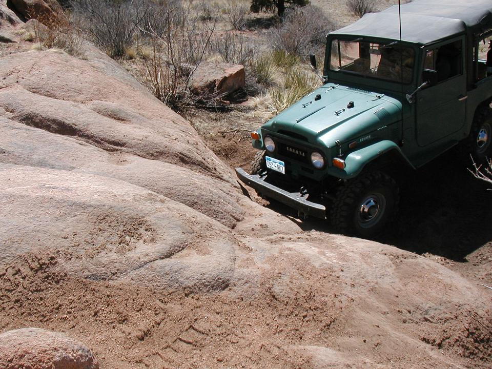
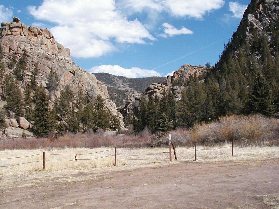
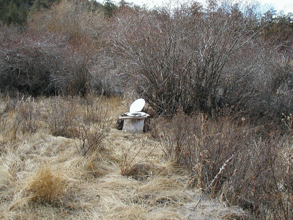
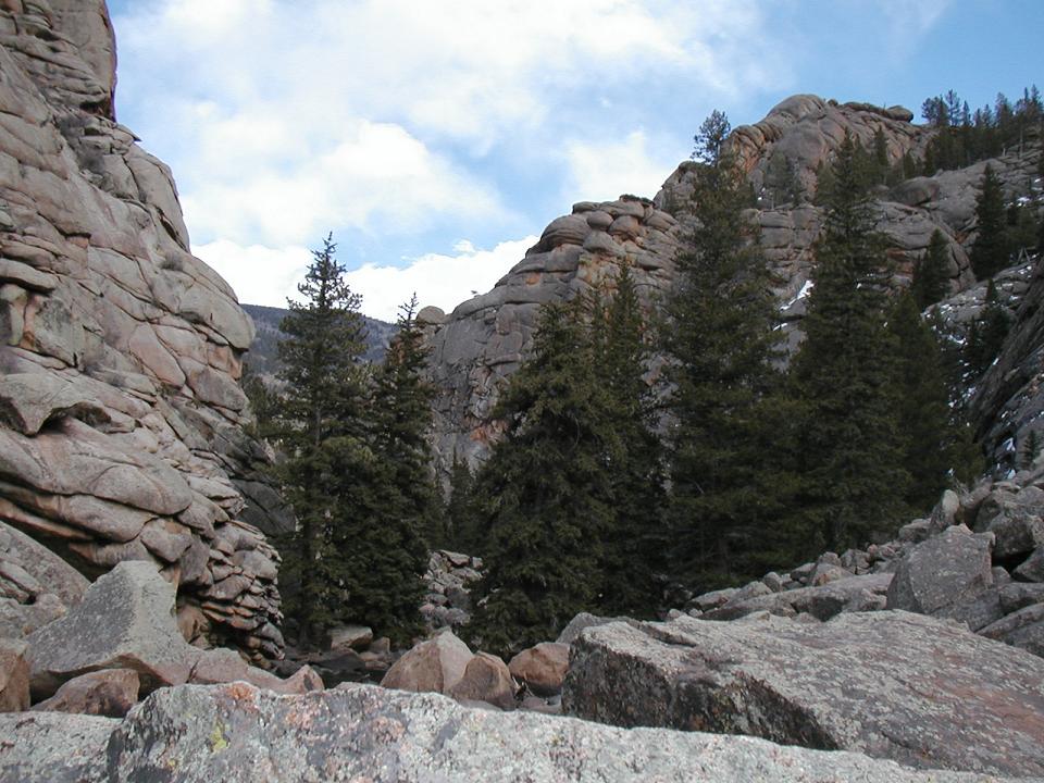
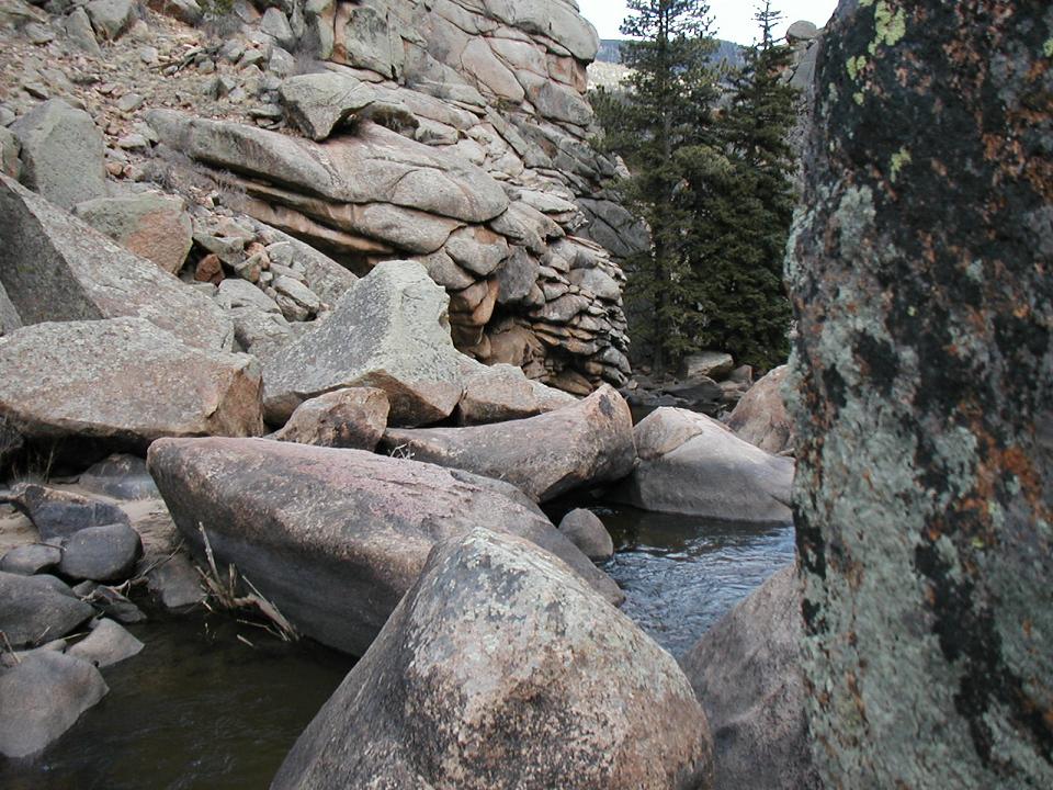
The area around Box Canyon has been post-and-cabled, but there is a foot trail that goes into the canyon. The trail follows the creek and is bordered by huge rock formations and the creek forms huge natural pools between the rocks. Looks like it would be a great place to swim in the summer. Judging from the number of over-used campsites, I bet it gets pretty crowded on weekends. We picked up a lot of trash all along the trails and in the campsites. We definitely left China Wall cleaner than we found it.
Box Canyon


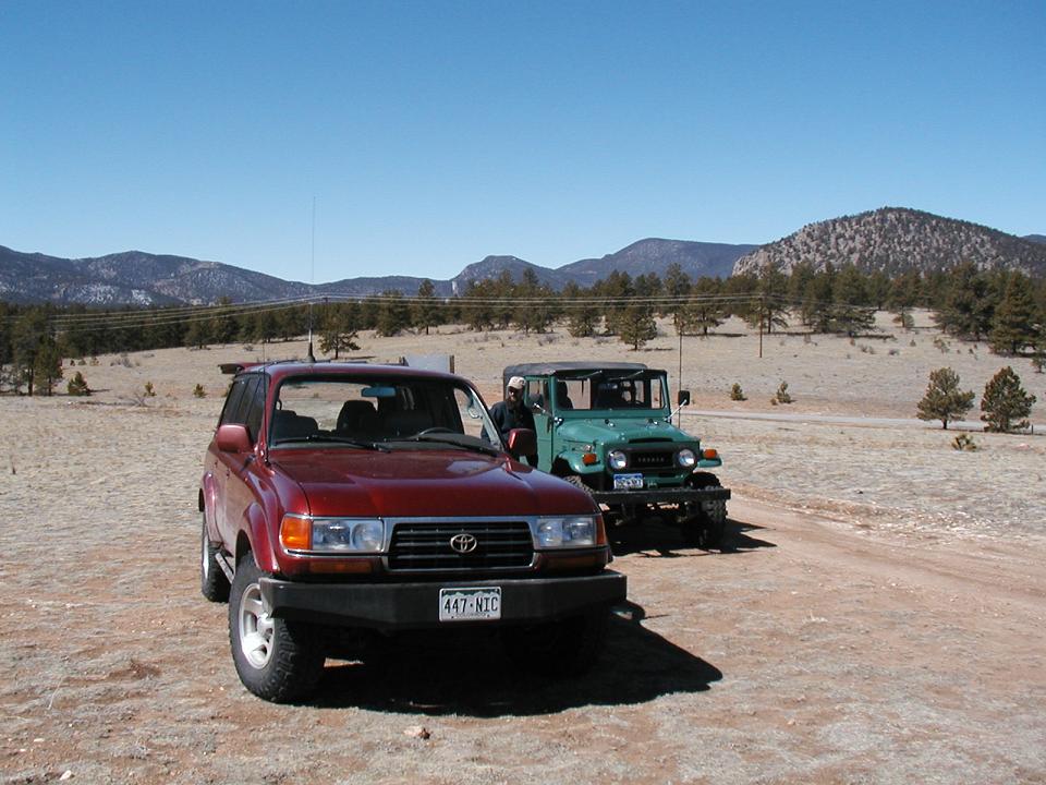
We continued up the trail checking out more side trails. We didn't have a detailed map, but we managed to find a trail with a looong hill climb that ended up taking us back to our original trail, near the trailhead. This made a great loop. We headed back down to the trailhead and aired up. We opted to drive back up 77 rather than taking the Goose Creek road because my 40 was low on gas. I'll plan on that route next time and make sure to bring some extra fuel.
Thanks, Dan, for ditching work and wheeling on a Wednesday.

I've been wanting to try out the China Wall trail which is South of the Tarryall Reservoir near the Lost Creek Wilderness. I had never explored this area West of Lost Creek and the Hayman fire. It's a beautiful part of the state.
Dan (MountainGoat) and I headed out from Conifer at 9:00. We went over Kenosha Pass on 285 and then down 77 towards Tarryall. It's a pretty long drive to get to the trail but there's lots of scenery along the way. We got to the trail and aired down and started exploring the area. We had a great view of Pikes Peak and the surrounding landscape.
The main trail is smooth, sandy, rolling with a few fun sections of rock to climb on. The trail goes for a few miles then ends at some great campsites down near Tarryall creek.
After a leisurely lunch break we explored some more of the side trails before heading down the second section of the trail which goes to an area along Tarryall creek called Box Canyon. There were a few more sections of fun rock obstacles and hills before we reached the canyon. One hill in particular was a challenge. It had an off camber, boulder strewn approach down a very steep, loose, rocky trail. It was a fun section. Here's a look up the hill and Dan getting ready to drop in at the top. Another of me coming down through the rocks.
The area around Box Canyon has been post-and-cabled, but there is a foot trail that goes into the canyon. The trail follows the creek and is bordered by huge rock formations and the creek forms huge natural pools between the rocks. Looks like it would be a great place to swim in the summer. Judging from the number of over-used campsites, I bet it gets pretty crowded on weekends. We picked up a lot of trash all along the trails and in the campsites. We definitely left China Wall cleaner than we found it.
Box Canyon
We continued up the trail checking out more side trails. We didn't have a detailed map, but we managed to find a trail with a looong hill climb that ended up taking us back to our original trail, near the trailhead. This made a great loop. We headed back down to the trailhead and aired up. We opted to drive back up 77 rather than taking the Goose Creek road because my 40 was low on gas. I'll plan on that route next time and make sure to bring some extra fuel.
Thanks, Dan, for ditching work and wheeling on a Wednesday.
Last edited: